I sometimes cringe when I look at the map reading activities in some math books. These are designed to teach our kids spatial reasoning, mapping skills, distance, ratio, and loads of other skills. The maps are basic grids with perfectly spaced streets and the usual buildings and spaces – school, library, sports oval, and parks. They have questions like: What is at grid reference A4? How far is it from Jim’s house? List the grid references that the river passes through. All this learning from the comfort of your desk without even having to venture outside!
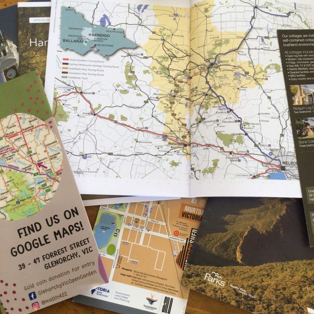
My kids have completed these exercises without much enthusiasm and without much thought. I usually view them as ‘busy’ work. Something to keep them occupied, but not really teaching them any real-life map reading skills. I prefer to give my children real maps. Maps of the walks we are doing. Maps of the zoo. Maps of the local town. They loved the map supplied by the large Westfield Shopping Centre we visited earlier this year (yep, we’re country bumpkins, our largest retail complex is an hour and a half away and has only 1 level of shops, no elevators or lifts!)
When children examine real physical maps they realize that there is information that they need to interpret. The references are not in nice, neat little packets. The symbols can be unusual so referring to a key is part of the process of ‘reading’ the map. The distances have to be calculated by ratio.
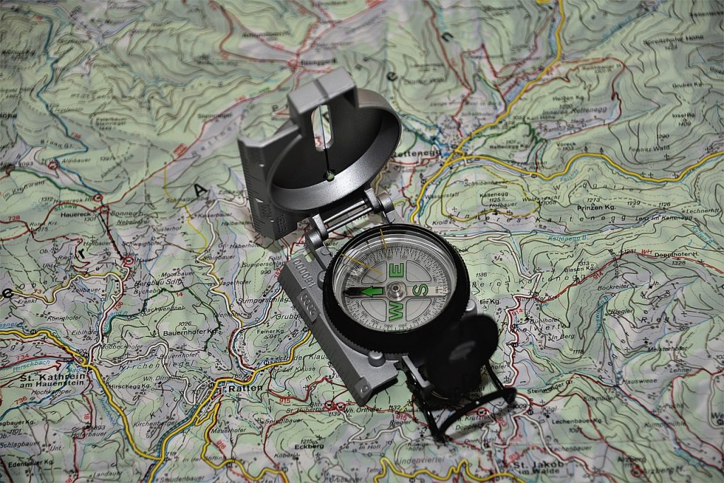
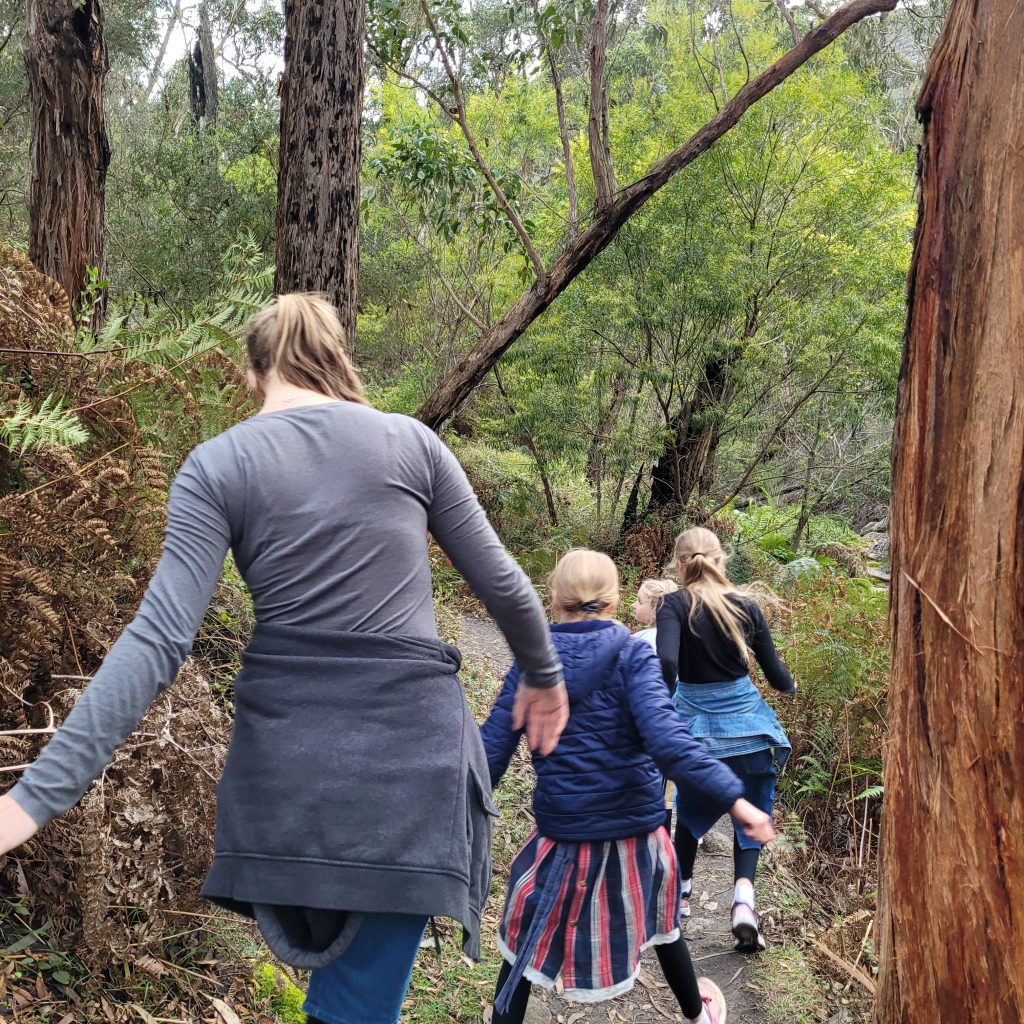
One great way to learn to use a map is orienteering. Orienteering is a sport where everyone can join in and learn to navigate using a map and compass. Some of the groups that are in Victoria state that they have participants from under 5 to 95! It really is an all-inclusive sport. Rather than learning to read a map while sitting in class, everyone learns by using real physical maps to interpret the surroundings and navigate a set course.
Definition: Orienteering is a sport in which orienteers use an accurate, detailed map and a compass to find points in the landscape. It can be enjoyed as a walk in the woods or as a competitive sport.
web.williams.edu
Why not find a group near you that you can join? Or organize an orienteering adventure with your homeschool group.
This YouTube playlist has a range of videos to help you learn orienteering skills, from basic compass skills to map reading and navigation.
We can help our children learn valuable mapping skills while enjoying time outside and breathing in the fresh air around us! Try some of these activities:
- Invest in a compass for each of your children. Learn how to use it and then teach them.
- Access maps from your local information center. Let your children look at a map and find their way around.
- Take a drive and let your children give you directions.
- Give your kids a map and see if they can guess where you are taking them, let the destination be a surprise.
- Follow a map when you next go bushwalking. Can they recognize the landmarks?
- Find a local orienteering group. Learn from the experts how to navigate a course.
- Let your children create their own treasure map. See if you can discover the ‘treasure’. Or make one for them and send them on a treasure hunt.
- Compare local maps to larger country maps. What things are the same? What things are different?
- Look at satellite images of your local area. Compare them with street-level maps. Google Earth is an excellent resource for this.
- Next time you go on a road trip, give your children a paper map they can track your journey on.
- Geocaching is a relatively new sport, using GPS data to send you on a treasure hunt. Its fun caches can be found all around the world. Download an app to get started.
And for your little ones…