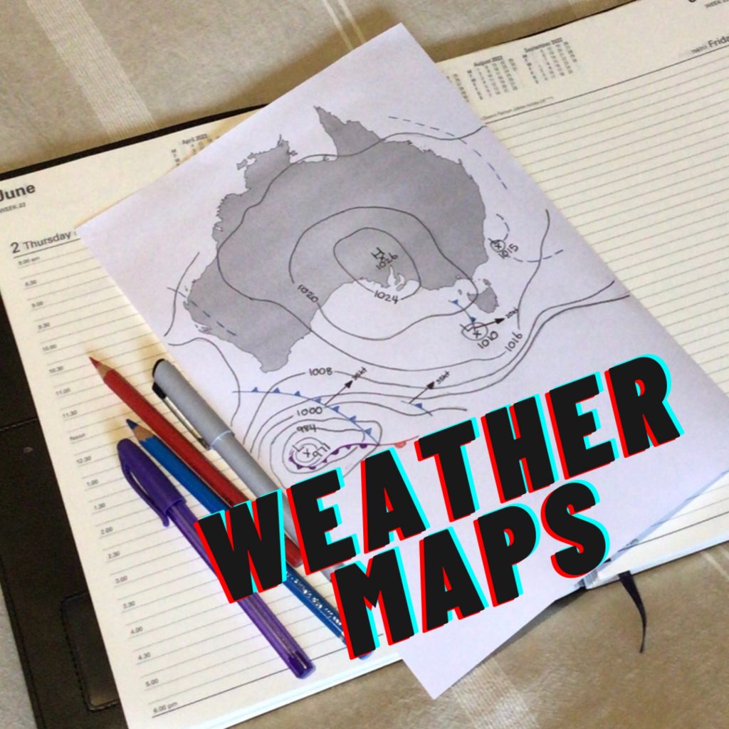
Weather maps use colours, numbers, symbols and lines to show us what the weather is, or is predicted to be, at a certain place.
If we know what the symbols mean we can read the weather map. Some common symbols that we will need to know in order to understand the map are:
- H – when we see the letter H, on the map, it indicates an area of High Pressure.
- L – when we see the letter L, on the map, it indicate an area of Low Pressure.
- Circular lines are isobar lines. They show areas of the same Barometric Pressure.
- If colours are used to indicate rainfall or temperature a KEY will be included on the map.
- Numbers can indicate barometric pressure, temperature and/rainfall.
- Arrows with notches show wind direction, The number of notches show the speed.
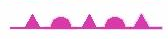
- A red line with semicircles indicates a warm front.
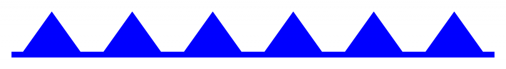
- A blue line with triangles indicates a cold front.
- A purple line with semicircles and triangles indicates a ‘occluded’ front. An area of air trapped between a cold and warm front.
- A yellow or blue broken line indicates a trough. A trough is a region of low pressure that often precede a cold front.

Use these 3 Part Cards to learn what the weather map symbols mean.
Weather Map Resources and Activities.
Some other symbols that might be helpful can be found in this article titled ‘How to Read the Symbols and Colors on Weather Maps’.
The Bureau of Meteorology has a helpful article on ‘The Art of The Chart: How to Read a Weather Map’.
National Geographic has an activity to create a Weather Map HERE and there is a range of weather map activities your children might enjoy HERE, just substitute your country.
There is a Synoptic Chart worksheet that can be downloaded HERE.
Australian weather forecast maps can be found HERE and HERE.
A Weather Map Worksheet can be downloaded below
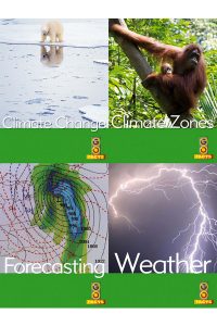
It is always a bonus when we can combine subjects in our learning. The Go Facts series, by Blake Education, has a non-fiction writing unit based on Climate. Our family enjoyed using this, it includes a book on Forecasting, which fits in nicely with learning about weather maps. You might like to try this with your middle primary aged children, or the season and habitats sets for your younger children.
The Rainy Day Mum has a great post on Weather Forecasting and Meteorology books for kids. I thought these ones looked great!


Your little ones may like these weather forecasting videos:
And your older children may like this one: